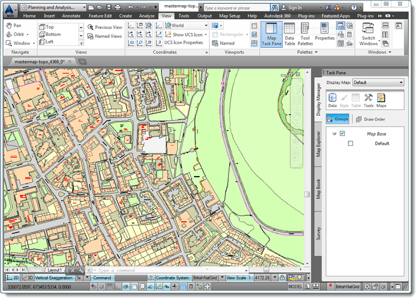
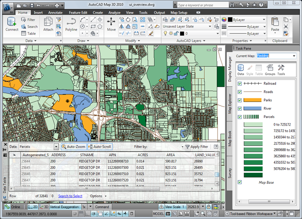
DemosCAD MAP is a skill-based DEMONSTRATION application that helps users to master all the tools and commands in AutoCAD MAP 3D software products. It’s built around Autodesk AutoCAD MAP 3D Software, with Demonstration Videos and text Overview Explanation in form of pdf for easy understanding of each tool & command. It also comes with project based Visual Resources for Comprehensive understanding by the user. Not only will DemosCAD Map act as your personal trainer, but also as a reference application for easy use of your AutoCAD Map 3D Software. Thus it can be used by every AutoCAD Map user right from Beginners to Professionals.

Steps to easily maneuver around the DemosCAD Map 3D application:

1. Who uses AutoCAD Map 3D?
It is a model-based GIS and mapping software. Use AutoCAD® Map 3D software to get broad access to CAD and GIS data to support planning, design, and data management. AutoCAD Map 3D software provides access to GIS and mapping data to support planning, design, and data management. Intelligent models and CAD tools help you to apply regional and discipline-specific standards. Integration of GIS data helps to improve quality, productivity, and asset management.
1. Who uses AutoCAD Map 3D?
All those in the Geospatial field, ranging from students to Professionals can take advantage of features and solutions offered by AutoCAD Map 3D to design and better communicate with other Engineers.


